Telraam Traffic Monitoring & Bike Match Network Shutting Down
Reflecting on 4 years of Bike Match and 2 years of Bay Area Traffic Monitoring
Four years ago, at the height of the COVID-19 pandemic, my friend Sam asked me, “Hey, what do you think about creating a website that helps essential workers get to work by connecting them with people who have unused bikes sitting in their garage?” A friend of his in Washington D.C had just created a similar project, inspired by Transportation Alternative’s recently launched Bike Match program in New York City. I immediately loved the idea and said “What if, instead of just supporting San Francisco, we create a platform that any organization in the country could join?” And thus, Bike Match Network was born.
After 3 days of designing and coding, Sam and I launched Bike Match Network on April 10th, 2020. Our first few matches were made in partnership with the San Francisco Bicycle Coalition as Sam helped me onboard bike shops and advocacy organizations across the country. Within a few weeks, we had 16 organizations join BMN, who together have connected 320 people in need with free bikes over the past four years.
Now as the pandemic fades into the past and public transit ridership in many cities returns to pre-pandemic levels, we’ve decided it’s time to sunset Bike Match Network and take a moment to celebrate the amazing work our partners have accomplished over the past four years.
We’re incredibly proud of the impact Bike Match Network has had on the lives of so many people. Sam and I deeply thank everyone who participated for making this project such a wonderful success and one we’ll look back on proudly for many years to come.
The Technical and Political Limitations of Traffic Monitoring in the San Francisco Bay Area
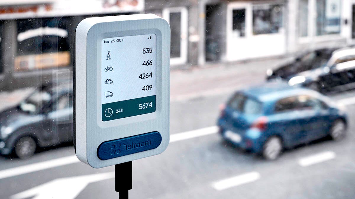
In December 2022, the San Francisco Municipal Transportation Agency (SFMTA) established a “Slow Streets” program, designed to limit the number of motor vehicles on 16 residential streets to 1,000 vehicles a day and an average speed of 15mph. As the program began to rollout, residents on San Francisco’s Slow Streets purchased traffic monitoring sensors from Belgium-based Telraam to ensure vehicle volumes and speeds did not exceed these thresholds.
Two years later, many of these residents are exasperated as they continue to watch drivers speed down their “Slow Street“ and exceed SFMTA’s daily vehicle volume goal of a 1,000 vehicles a day. Residents on Lake Street have sent the data they’ve captured to city officials, begging them to install more effective traffic calming measures like speed bumps, chicanes and modal filters.
In San Francisco and Berkeley, where about 60 Telraam sensors are installed, pleas to install traffic calming measures on Slow Streets and Bicycle Boulevards have been routinely ignored by city officials. As a predictable result, on November 14th, a driver hit and killed 78 year old Ben Brown on Rose Street in Berkeley, three blocks from where a Telraam sensor captured an increase in driver speeds after the street was repaved last year.

Families in San Francisco and Berkeley have every right to be outraged by their city’s refusal to take action on Telraam’s data. To support our neighbors who want safer streets, I designed and built a faster and easier way to view Telraam’s data and track if vehicle speeds and volumes are exceeding safe limits.

As 10 years of “Vision Zero” in San Francisco comes to a close, with zero progress made on reducing the frequency of vehicle related injuries on its streets, our cities should be using every tool available to stop the carnage that continues to injure someone in San Francisco every 2.5 hours and take the lives of 30+ people each year.
San Francisco’s Prop K Passes. Ocean Beach Park One Step Closer to Reality
On a positive note, ICYMI, San Francisco’s Prop K passed with a 10 point margin in November’s election. Prop K permanently closes the Great Highway on the western edge of San Francisco to motor vehicles to create an “Ocean Beach Park“.
In October, we published an analysis of the anticipated economic impacts of Prop K on nearby businesses and found that it is expected to bring an additional $6.3M – $12.6M a year to the neighborhood, simply by closing a two mile roadway to cars.

Last week, the California Coastal Commission unanimously approved the permit required to convert the Great Highway into a permanent park. As work continues on this transformation, I’m giddy with excitement to see the park open in early 2025.
Transpo Maps Needs Your Help. Please Support Our Work.
It’s the end of the year and we’re trying to raise $10,000 so we can hit the ground running in 2025. While that may not seem like a lot for a non-profit, it will fund up to three projects that will help you fight for safer, healthier and more equitable streets.
We accomplished a lot in 2024 and will be sharing a detailed year in review soon. In the meantime, if you have the means, please make a tax-deductible donation today.


